      
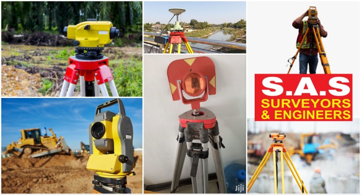
We carry out our surveys using the latest Total Stations to deliver our clients a cost effective, highly accurate detailed survey. we specialize in Highways, pipelines, unit surveys, construction layouts, topographical boundaries, subdivision design, title and boundary surveys, DGPS control surveys, digitizing, map reproduction and preparation and dedicated online map services
Sas Surveyors And Engineers - Branches in Kottayam, Pathanamthitta, Idukki, Alappuzha
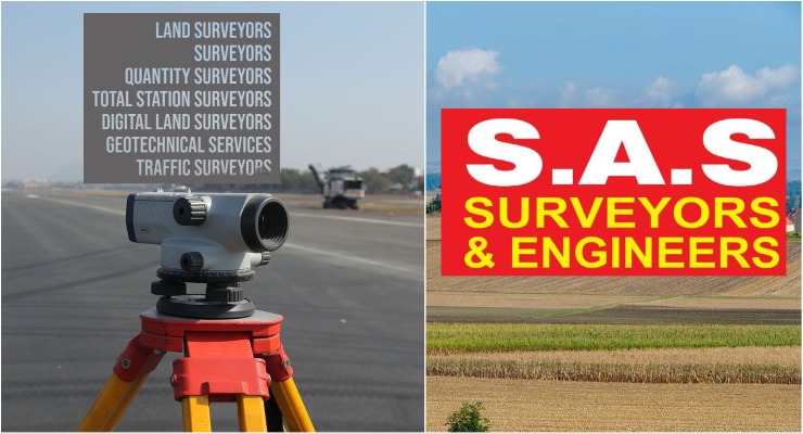
Sas Surveyors And Engineers, professional land surveying firm specializing in surveying & mapping of infrastructure, residential, industrial projects & layout services in and around Pathanamthitta, Pala, Kottayam, Alappuzha, Idukki & Ernakulam.
Road Survey Services, GPS Survey Servies, Geological Survey Services, Transmission Line Survey Services, Remote sensing Services, Topographic Survey Services, Groundwater Survey Services, Environmental impact Assessment Services, Aerial Photography Survey Services & Tunnel Survey Services
Land surveying, Surveyor, Geomatics,Boundary survey, Topographic survey, Construction survey, GPS surveying, Land measurement, Land mapping, Geodetic survey, Surveying equipment, Legal descriptions, Land records, Geographic information system (GIS), Land development, Cadastral survey, Elevation survey, Remote sensing, Aerial surveying, Geospatial data
|
Surveyors in kollam, Kottayam, Alappuzha & Pathanamthitta
Surveyors in kollam, Kottayam, Alappuzha & Pathanamthitta, Land surveyors in Kottayam
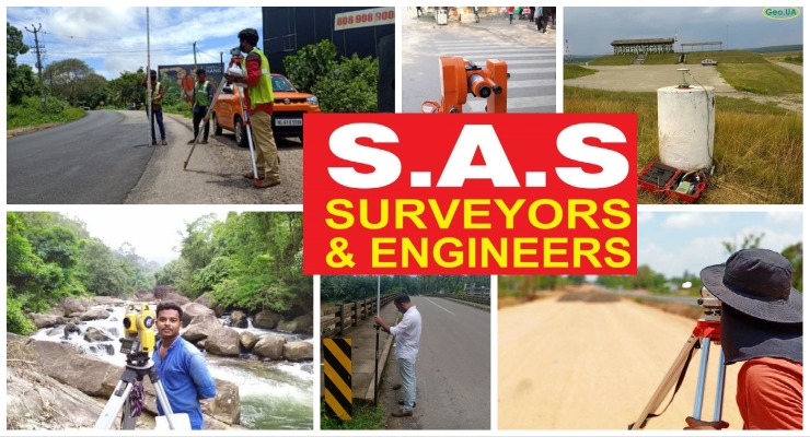
SAS Land Surveyors is a professional surveying company that specializes in providing accurate and reliable land surveying services. With their expertise and state-of-the-art equipment, they assist clients in determining property boundaries, conducting topographic surveys, and facilitating construction projects.
There are several different types of land surveying, each serving specific purposes and applications. Here are some common types of land surveying: Land surveying, Surveyor, Geomatics, Boundary survey, Topographic survey, Construction survey, GPS surveying, Land measurement, Land mapping, Geodetic survey, Surveying equipment, Legal descriptions, Land records, Geographic information system (GIS), Land development, Cadastral survey, Elevation survey, Remote sensing, Aerial surveying, Geospatial data
|
Sas Surveyors And Engineers Kerala
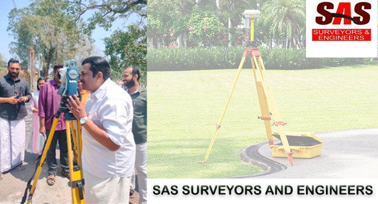
Sas Surveyors And Engineers is one of the leading and longest serving survey consultancy company in Karnataka. We take pride in our Accuracy, presentation and timely delivery of the projects undertaken.
|
Integrated Surveying and Engineering Expertise - Sas Surveying and Engineering: Mapping Progress in Adoor Pathanamthitta Kerala
Discover Precision and Excellence with SAS Land Survey Kottayam!
Road Survey Services, GPS Survey Services, Geological Survey Services, Transmission Line Survey Services, Remote Sensing Services, Topographic Survey Services, Groundwater Survey Services, Environmental developer, architect, engineer, or landowner in Kottayam, SAS Land Survey Kottayam
|
Unlocking Insights for Land, Coastal, and Geotechnical Projects - Sas Surveyors And Engineers - situated at Adoor - Pathanamthitta - Kerala

Sas Surveyors And Engineers, located in Adoor, Pathanamthitta, Kerala, is your trusted partner for a wide range of surveying services. Our team of skilled professionals specializes in hydrographic surveying, road surveying, coastal surveying, RTK surveying, geotechnical services, total station surveying, and preliminary surveys.
Road Survey Services, GPS Survey Services, Geological Survey Services, Transmission Line Survey Services, Remote Sensing Services, Topographic Survey Services, Groundwater Survey Services, Environmental
|
Land Mapping Masters - SAS Surveyors & Engineers - Pathanamthitta - Kerala

Land surveyors are skilled professionals responsible for measuring and mapping land areas to ensure accurate property boundaries and legal descriptions. Using advanced surveying instruments and techniques, they collect and analyze data to create detailed maps, identify topographic features, and establish reference points. These dedicated experts play a crucial role in various industries such as construction, real estate, infrastructure development, and land management. With their precise measurements and comprehensive knowledge, land surveyors contribute to the efficient planning, design, and utilization of land resources while ensuring compliance with regulatory requirements.
Land surveying, Surveyor, Geomatics, Boundary survey, Topographic survey, Construction survey, GPS surveying, Land measurement, Land mapping, Geodetic survey, Surveying equipment, Legal descriptions, Land records, Geographic information system (GIS), Land development, Cadastral survey, Elevation survey, Remote sensing, Aerial surveying, Geospatial data
|
|